
Ka Hei Chow
🏠︎ Ulm, Germany
About me
I'm Ka Hei, a geoscientist with expertise in geospatial data, remote sensing, and climate applications. I hold a Master’s degree in Applied Earth Observation and Geoanalysis, and have hands-on experience across research, climate tech startups, and the insurance sector. I'm passionate about creating innovative solutions that harness data intelligence across complex systems. My work includes developing advanced models for a wide range of environmental challenges, from disaster response to carbon markets. I'm driven to contribute to cutting-edge projects that accelerate climate action through the power of open data.
Expertise
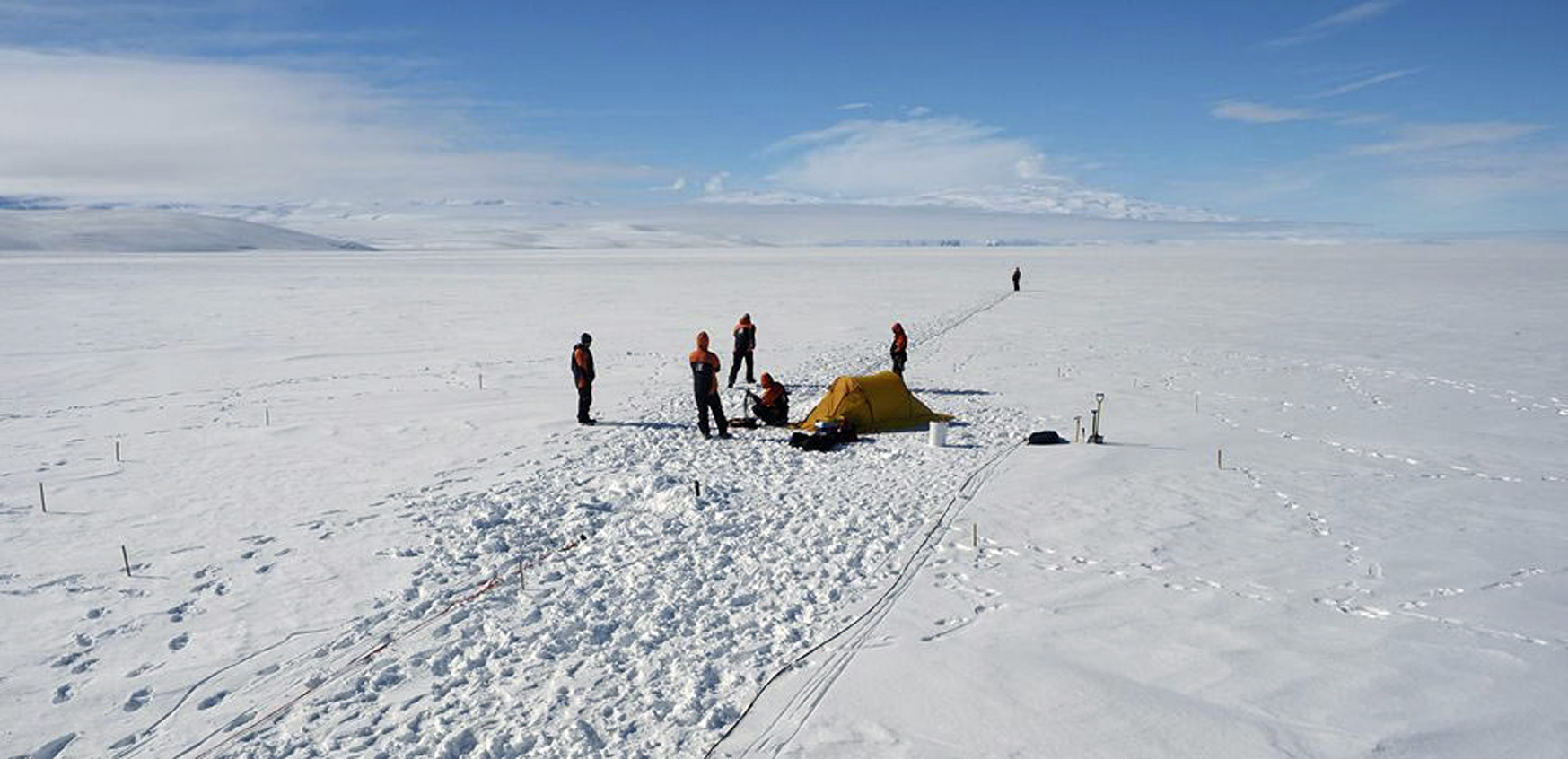
My journey began in 2019 in Australia, where I immersed myself in everything from satellite data analysis to sea level rise modeling. Today, I focus on building machine learning models, integrating geospatial data for hazard impact analysis, and developing data products that deliver actionable insights for climate adaptation. My toolkit includes modern technologies such as the PyTorch deep learning framework, GIS, and Google Earth Engine for cloud computing, while remaining firmly rooted in scientific computing and product development.
Remote Sensing
Transforming satellite imagery into actionable insights
Cloud Computing
Leveraging big data to inform evidence-based business decisions
Geosptial Data
Leveraging multi-dimensional data to provide granular information
Climate Risk
Assessing climate impacts from models and observations
Artificial Intellegence
Utilizing big data to facilitate spatial decision-making
Statistical Modeling
Effective and reliable assessment of natural hazards
Tech Stack
Pandas
Xarray
GitHub
Python
Earth Engine
QGIS
Bash
Confluence
Scipy
Jupyter
GDAL
PyTorch
Project Highlight
Here are the selected projects to which I have contributed.


Experience
Here is a brief summary of my recent experiences, ranging from research, climate tech industry, to development organization.
2021
Climate change research @ German Aerospace Center
2022
Geospatial Consultant @ World Bank Group
2024
Geospatial Engineer @ Maya Climate
2025
Senior Climate Impact Modeller @ Repath
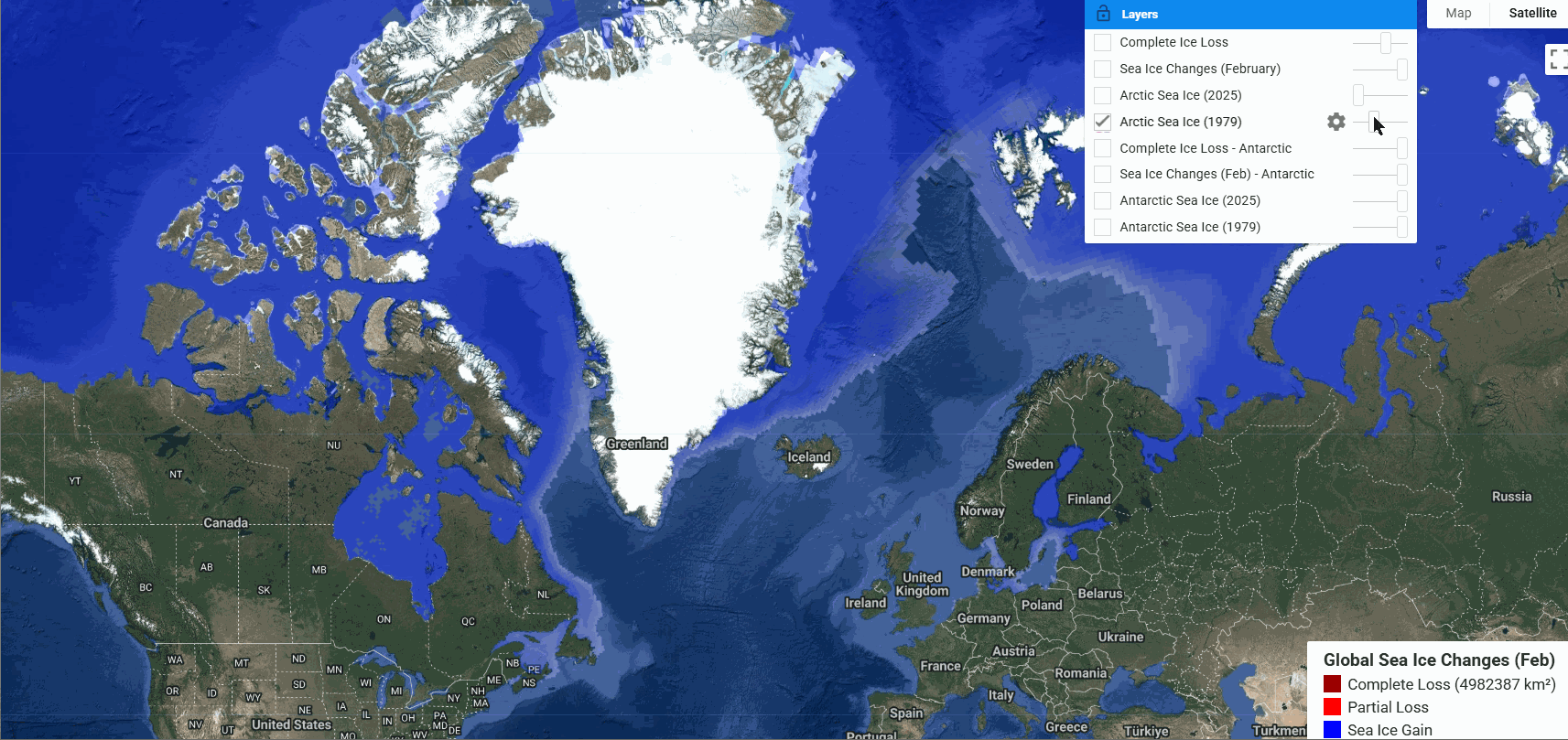
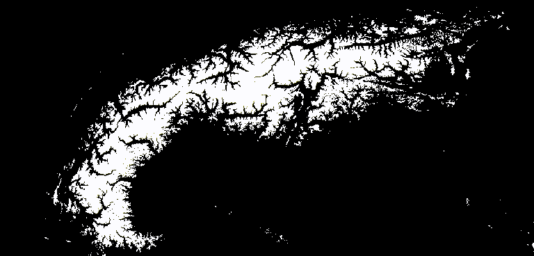
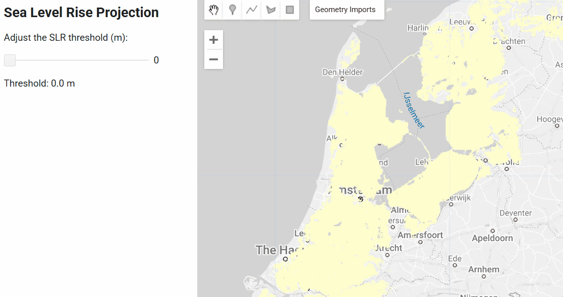
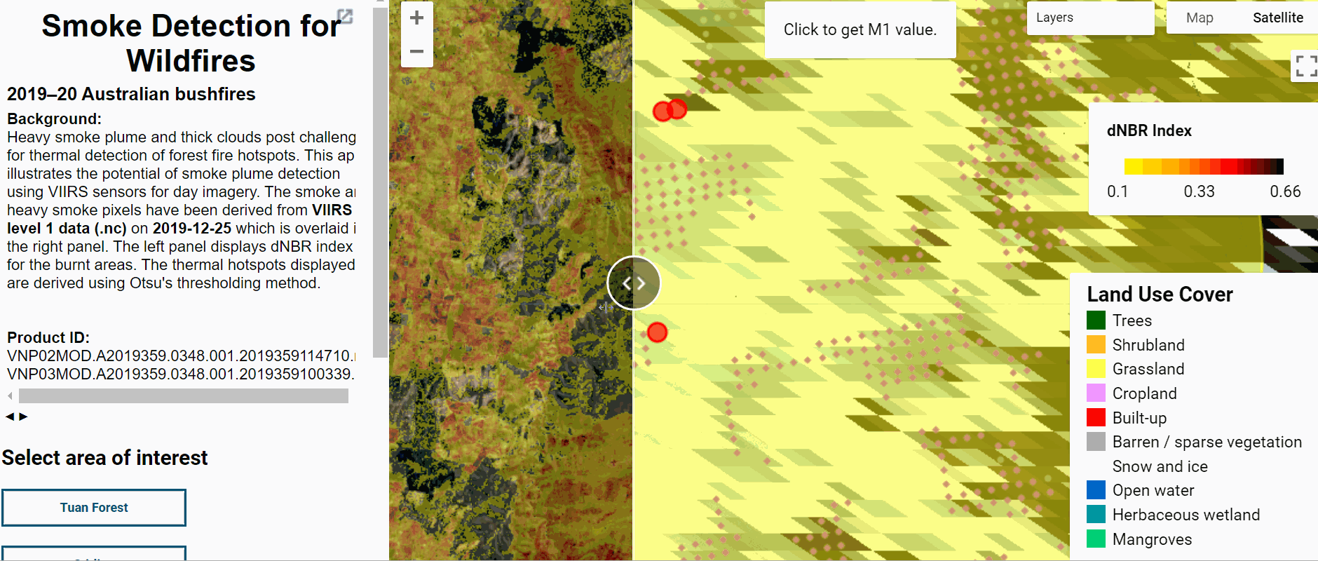
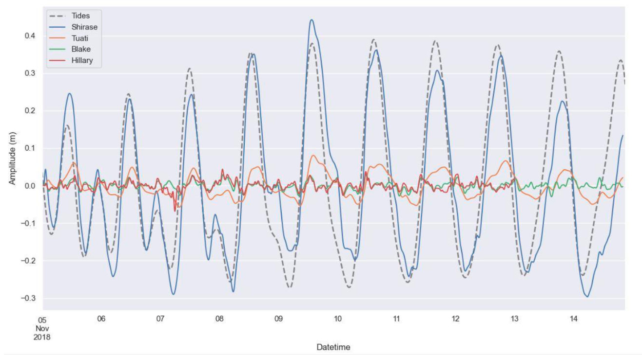
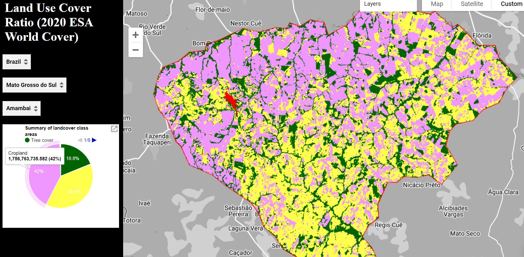
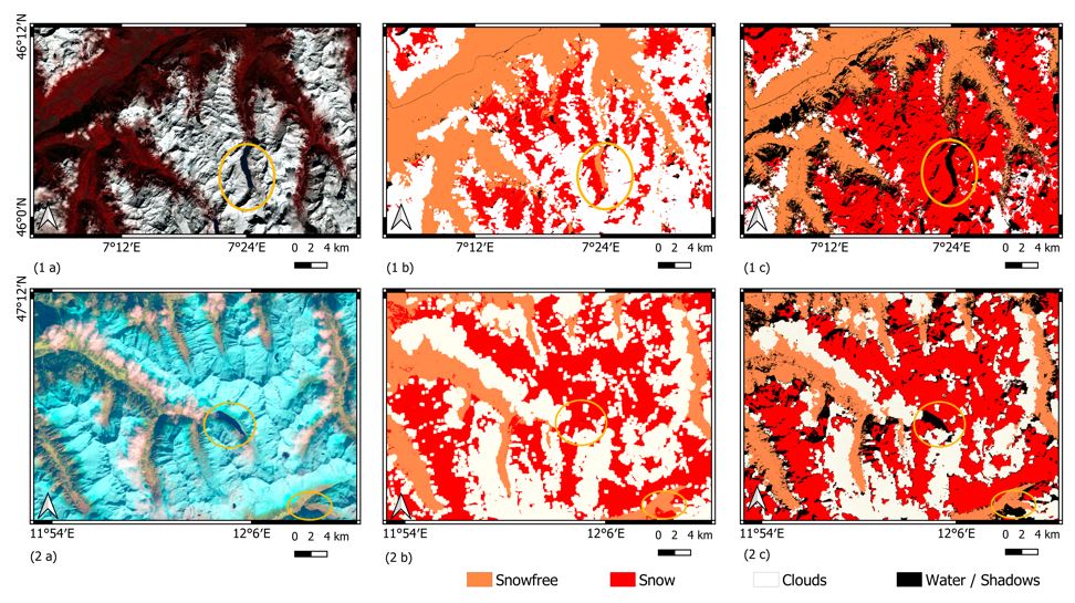
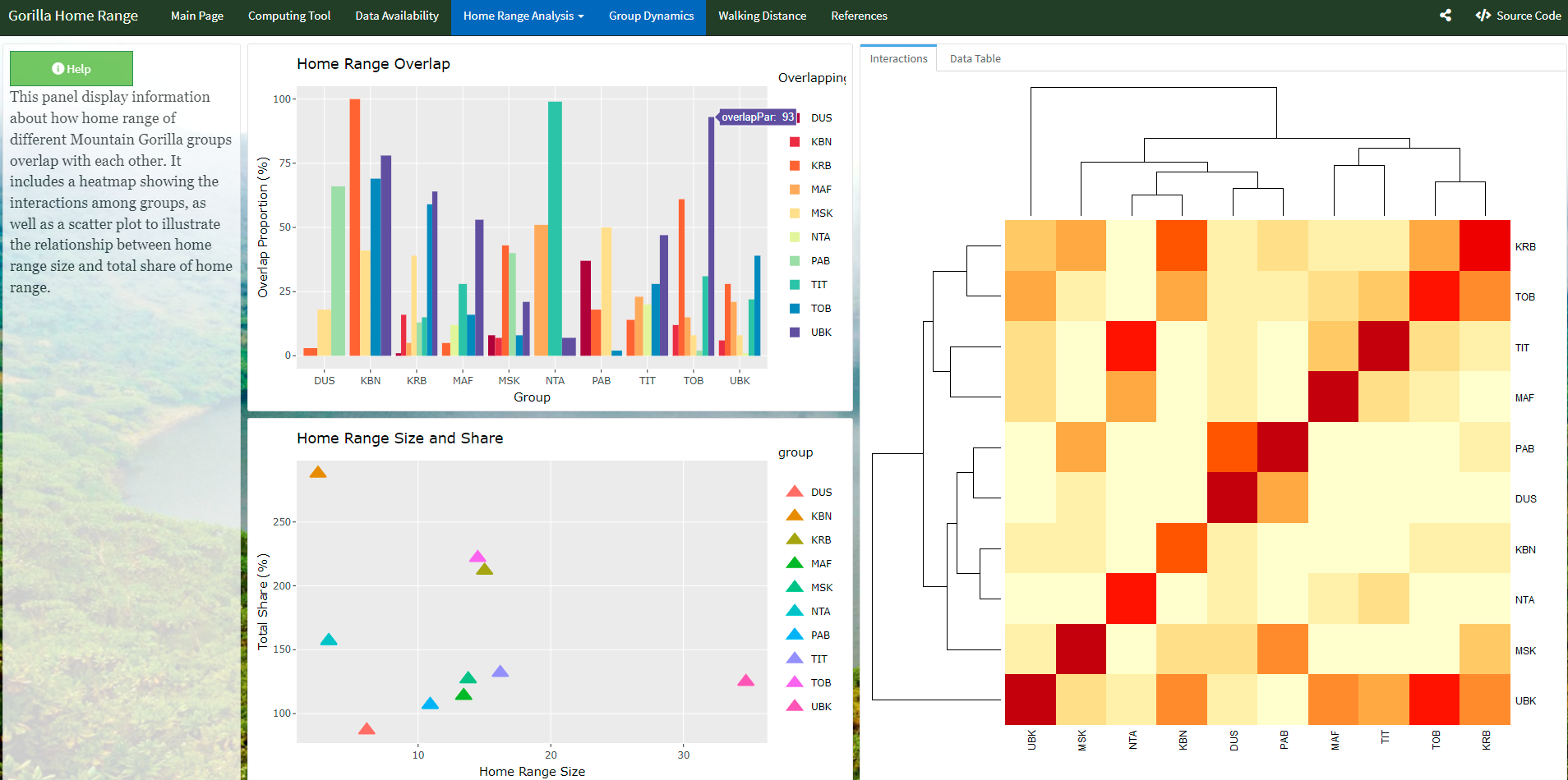
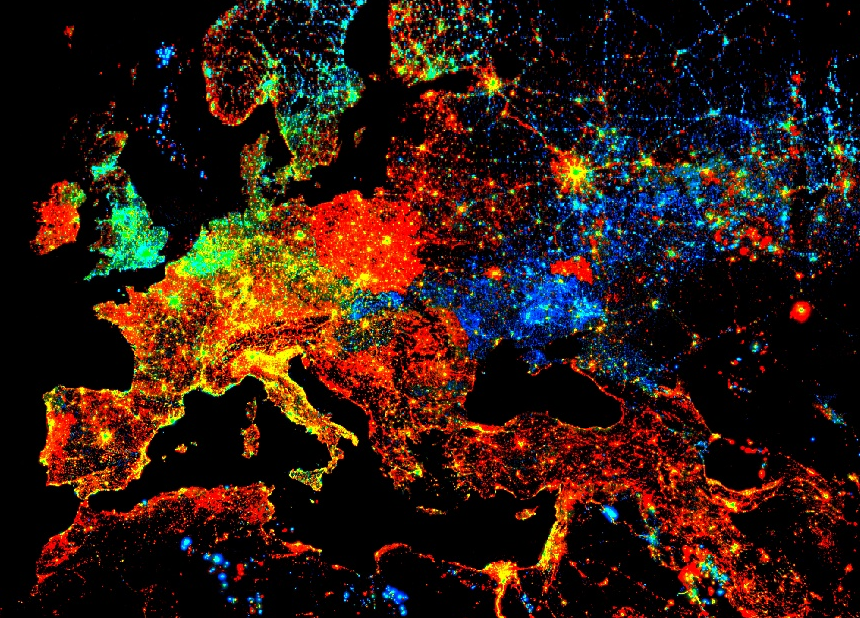
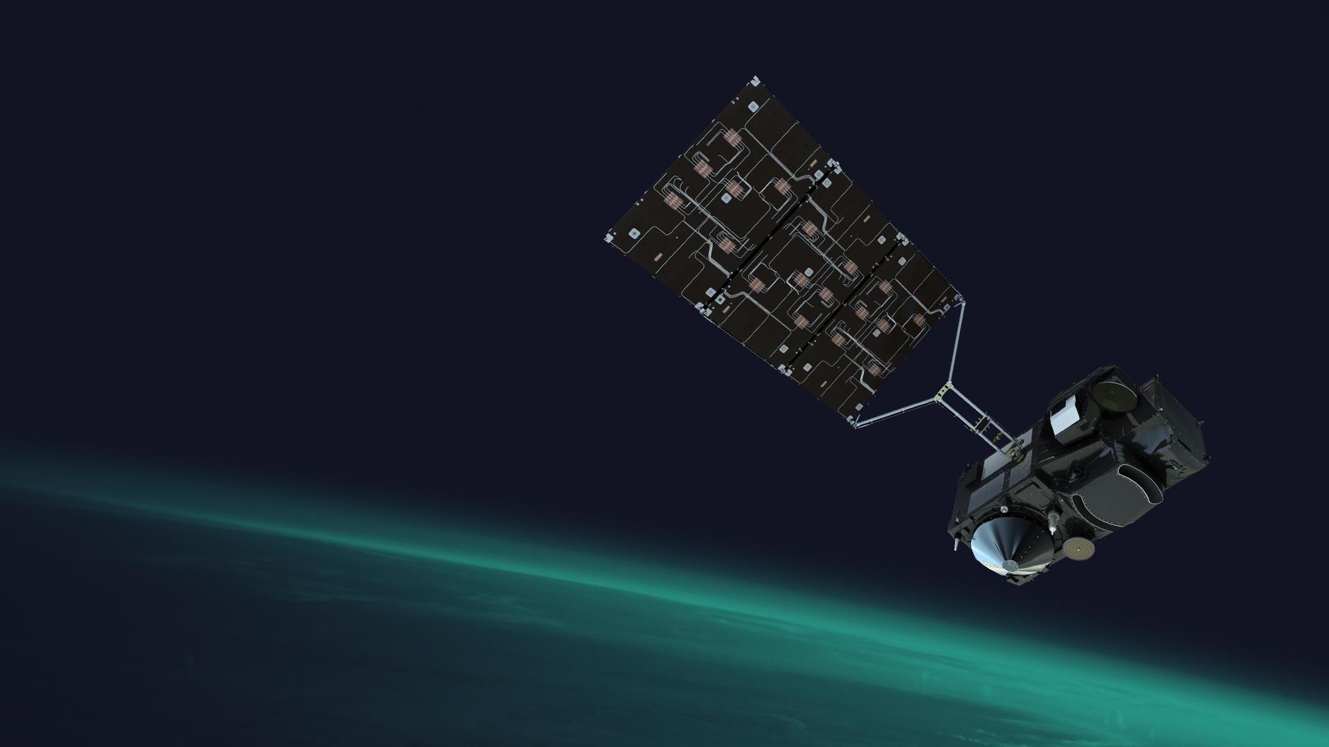
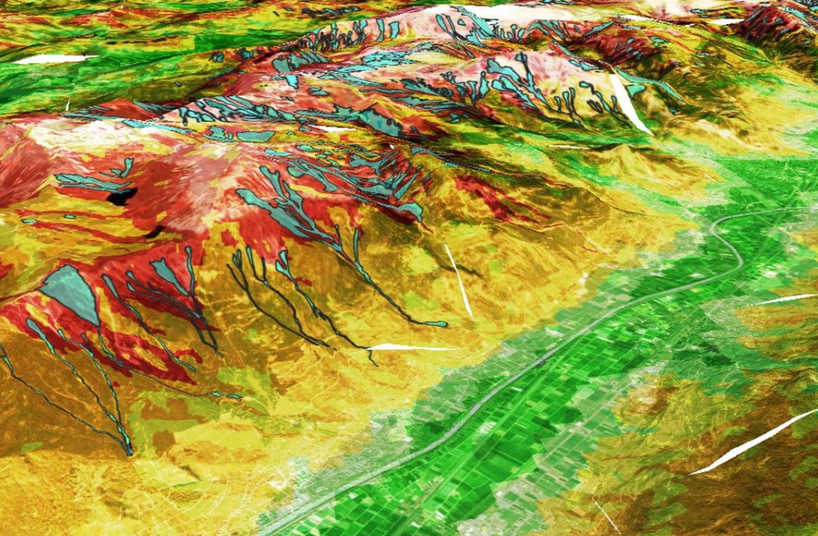
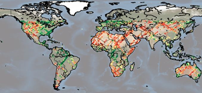
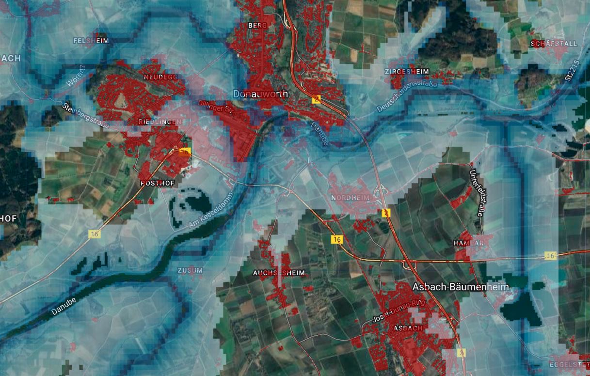
Data Gallery