
Mountain Gorilla Tracking @ Gorilla Fund
01 August 2021
Home Range Analysis of Mountain Gorillas
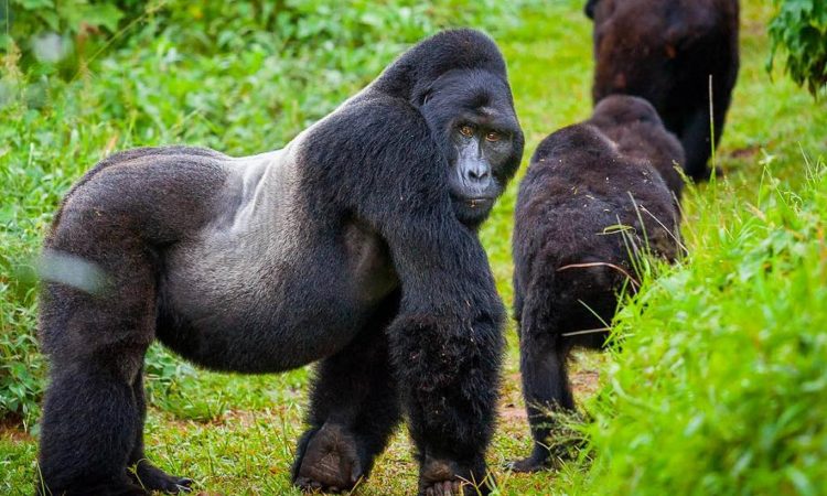
This is a voluntary project collaborated with the Dian Fossey Gorilla Fund, where I automated home range analysis of the mountain gorillas in the national park in Rwanda. To better understand the dynamics of different gorilla groups, GPS devices are used to record their daily movements.
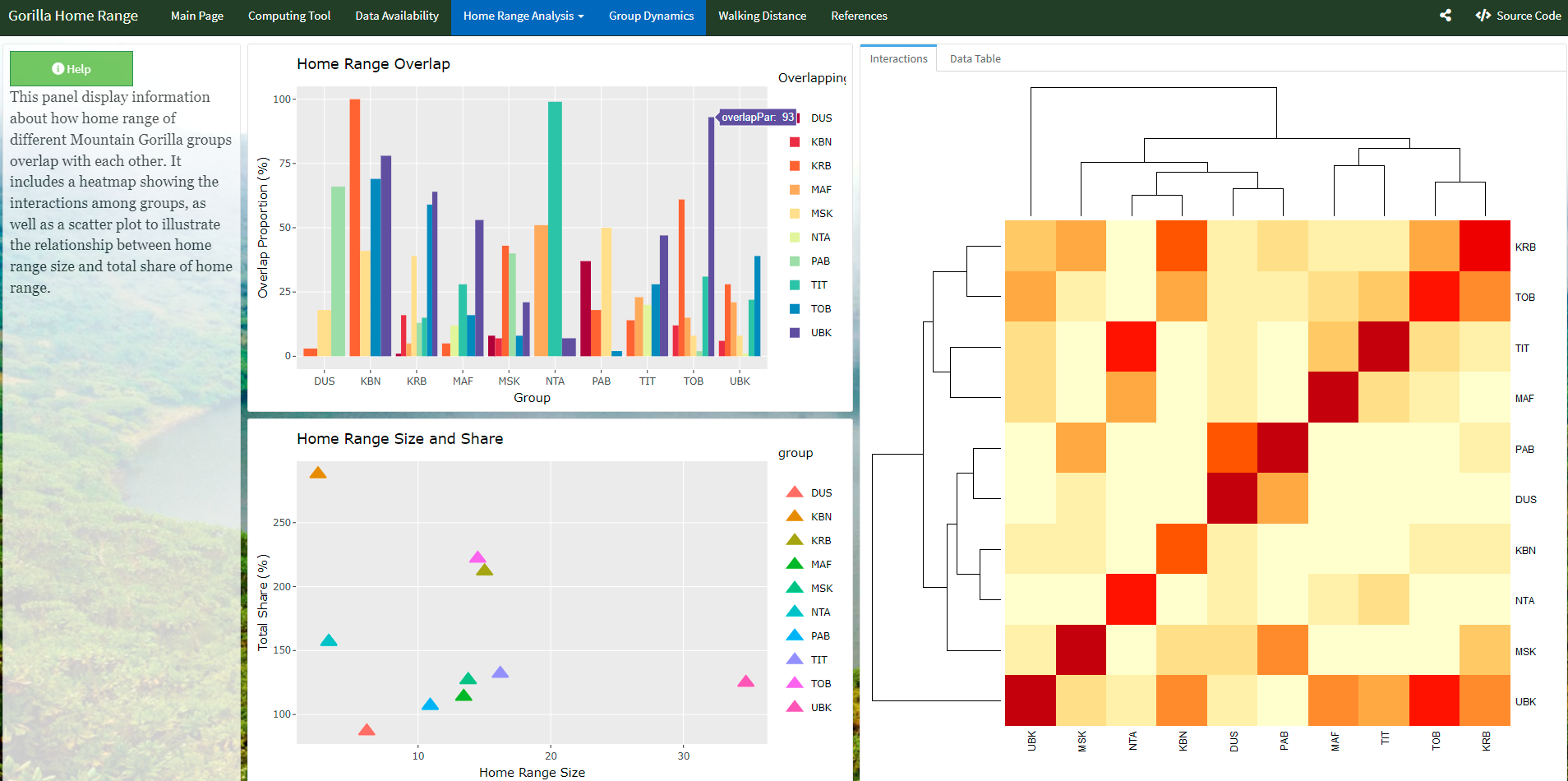
Before, the GPS data has to be manually processed for calculation and visualization. In this project, an interactive dashboard is developed to automatically ingest data on-the-fly and visualize the daily walking distance, home range overlaps, and home range sizes. It utilizes R raster, sf for the spatial analysis, ggplotly for plotting, Shiny and flexdashboard for the dashboard building and adehabitatHR for home range model estimation. The final data product provides nice visualizations in an interactive map and statistical tables which can be exported.


Check out my repository for the code.