
Global SnowPack Development @ DLR
01 September 2022
Developing Software for VIIRS-based Global SnowPack
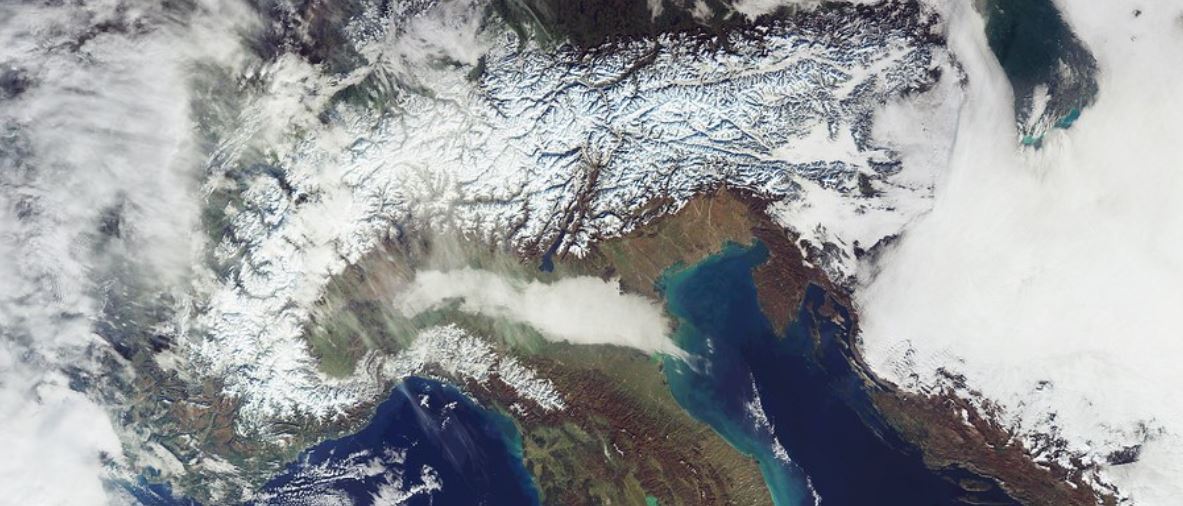
It is a work contract with DLR, which aims to develop a Python software module to ingest data from VIIRS sensors for processing snow cover classification for the Global SnowPack data product. It is a product which contains algorithms to transform daily satellite imagery into snow cover information for studying long-term changes in the cryosphere. The product is released in 2015 and is available via the DLR EOC Geoservice platform. Despite the presence of the data processing algorithms, it only apply to MODIS sensors and is not designated for any data with different formats and processing needs.
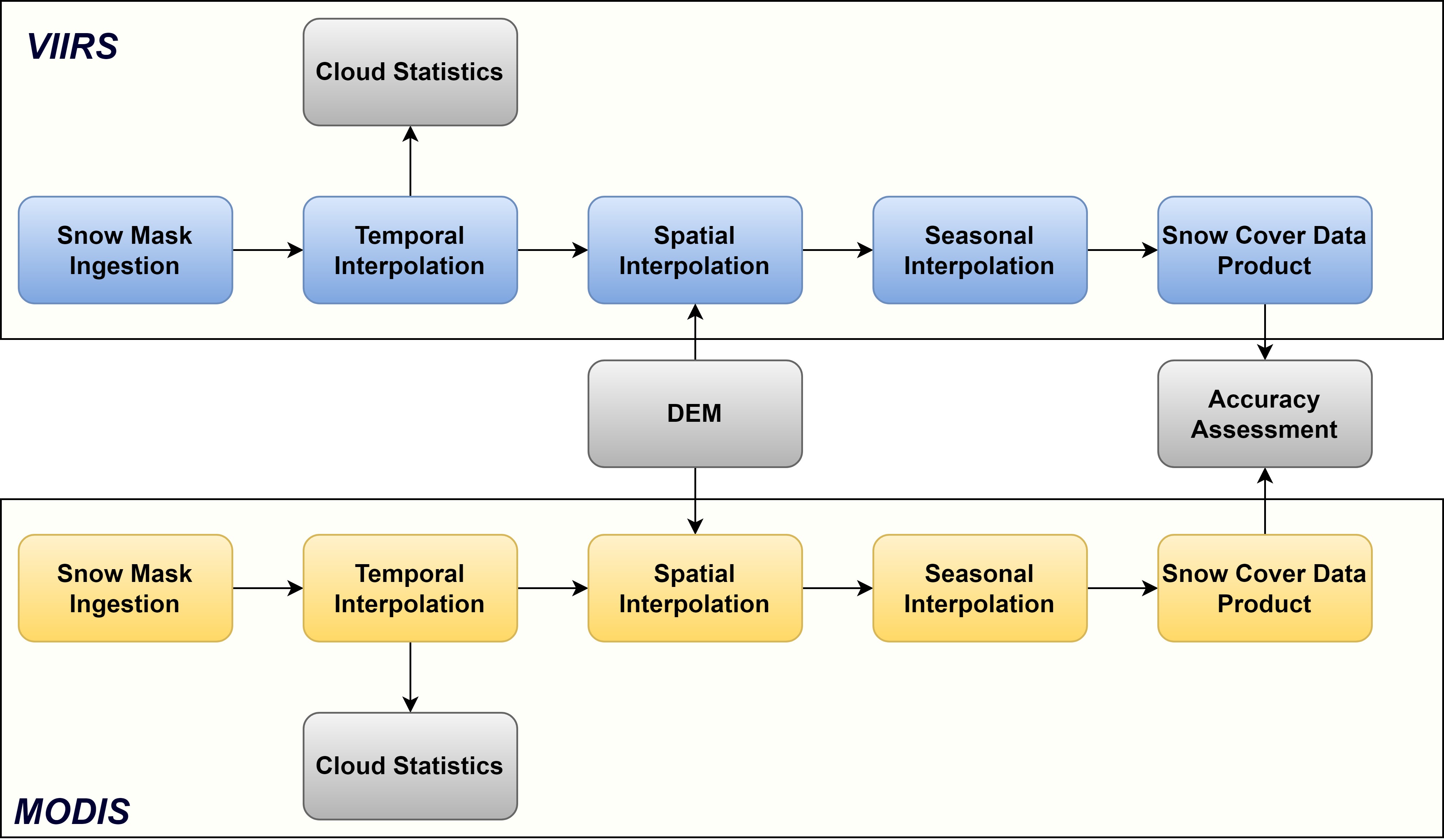
Hence, this project aims to reimplement the entire workflow in a scalable manner, which enables the integration between the MODIS and VIIRS data pipelines. The module consists of multiple components, which include data ingestion, temporal interpolation, cloud statistics calculation, and spatial and seasonal interpolation. It transforms the snow mask, DEM, and land mask into the final snow cover time series.
Furthermore, I developed a technical manuscript and an automated workflow to compare performances between the results from both data pipelines, which is applied for long-term time series analysis to prepare for the research paper publication.
* All DLR contract in this website refers to Werkvertrag in the original language.

